


Atlas of Scotland at St Giles'
Maps from the Atlas of Scotland will go on display at Edinburgh’s St Giles’ Cathedral

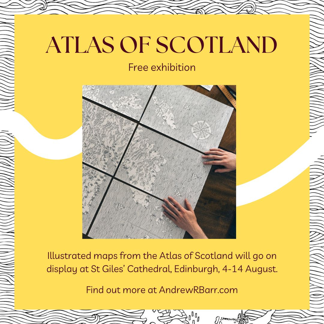
Illustrated maps from the hand-drawn Atlas of Scotland will go on display in Edinburgh’s St Giles’ Cathedral from the 4th – 14th of August.
The display will give visitors the chance to explore Scotland’s geography on paper, and to discover more about Scotland’s fascinating history right in the historic heart of the capital.
About the Atlas of Scotland
The Atlas of Scotland uses hand-drawn maps and illustrations to tell Scotland’s story. It explores in detail how Scotland was made, its history and culture, as well as the individual local histories of 9 Scottish regions, 7 cities and 12 historic towns.
The Atlas then goes far beyond Scotland’s shores, looking at many of the fascinating ways Scotland has connected with the outside world throughout history, from ancient geological links to North America, to the European trade routes of medieval Scottish merchants, and so much more.
The Atlas of Scotland project took just over a year to complete between 2020 and 2021, and includes a total of 37 hand-drawn maps. It was the first book to be published under The Scots Curator label.
Copies of the Atlas will be available just beside the display, where visitors will also be very welcome to say hello and ask any questions about my work.
Follow me on Twitter (@AndrewRBarr) and Instagram (@AndrewRBarr) for more.
Other things you might enjoy
Whilst you’re here, here are some other things you might enjoy:
Scottish Makar Kathleen Jamie and host Alistair Heather have launched a new podcast, ‘Lantern’, all about Scottish poetry past and present. Give it a listen here.
The Saltire Society has announced a roadshow of Scottish culture, stopping at Dundee, Falkirk and Dumfries across August and September. Find out more here.
The documentary film about the life of Hamish Henderson was recently re-broadcast on BBC Alba, and is now available to watch again on iPlayer.